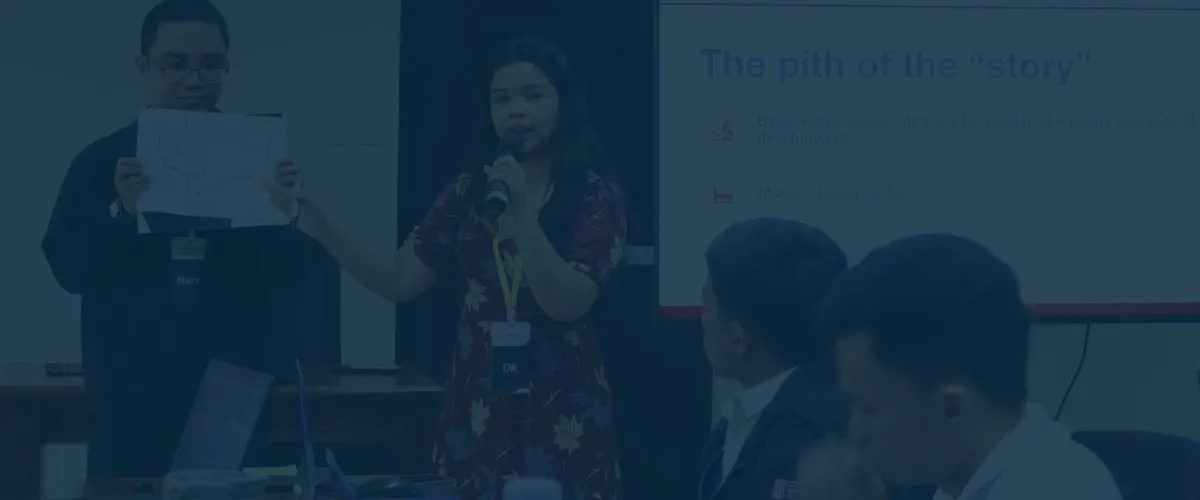
PDRF, NAMRIA equip Antipolo LGUs with advanced geospatial technical capacity to drive data-informed disaster and climate resilience planning
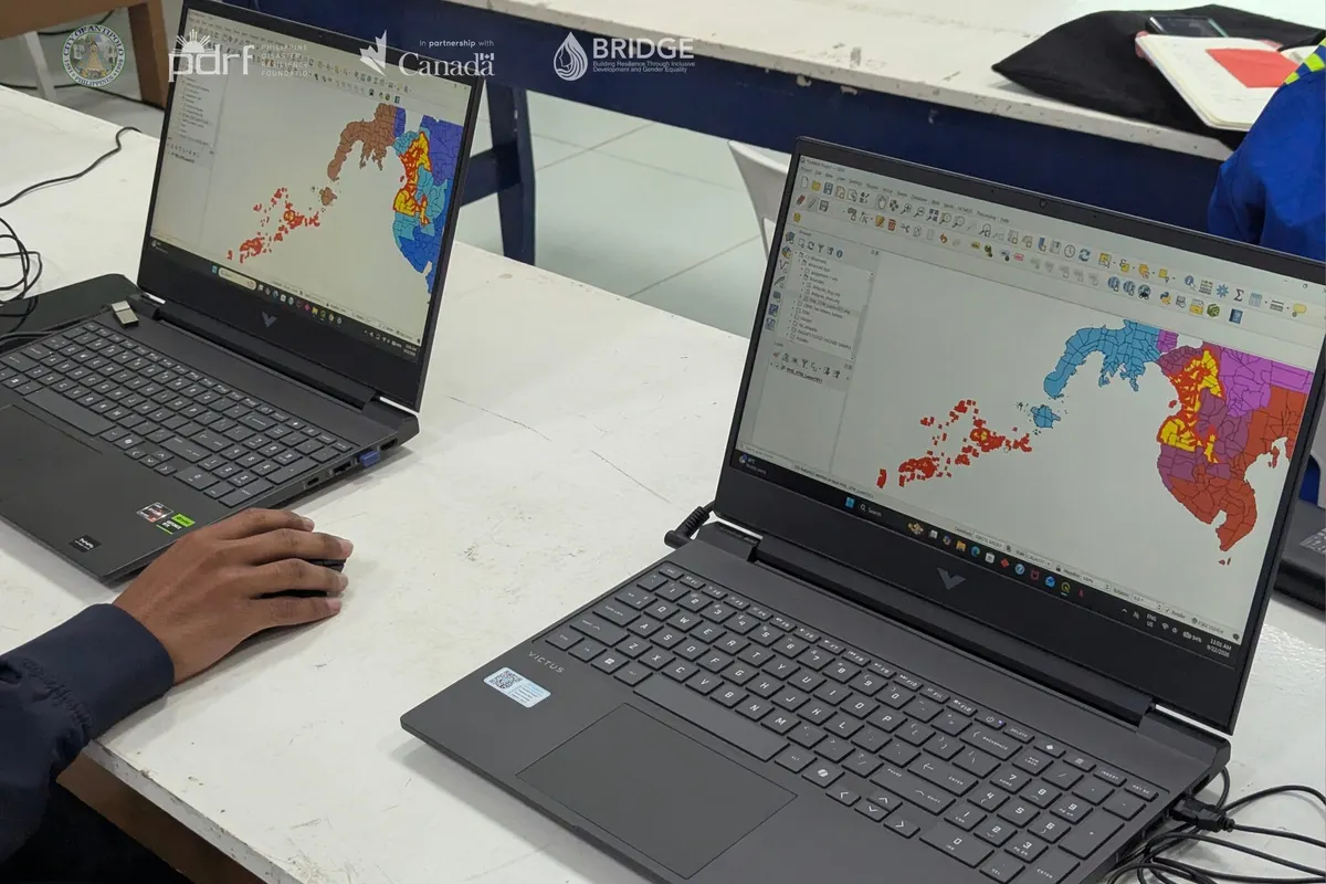
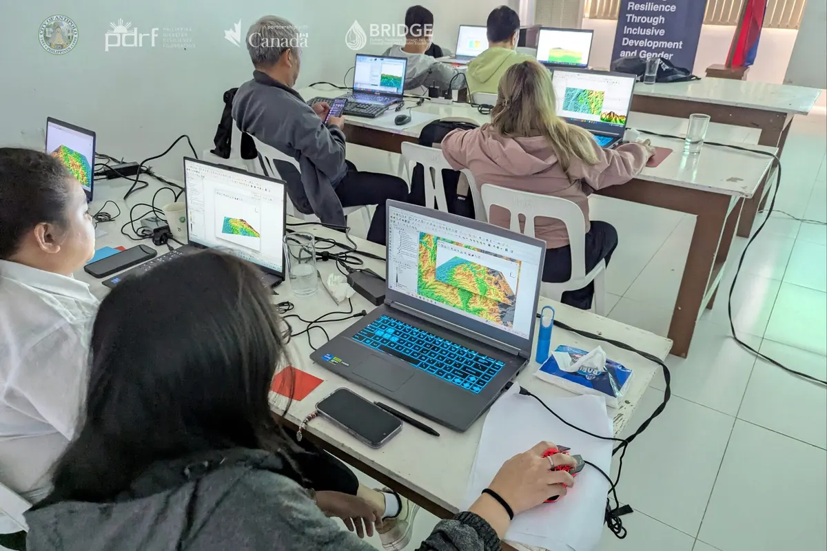
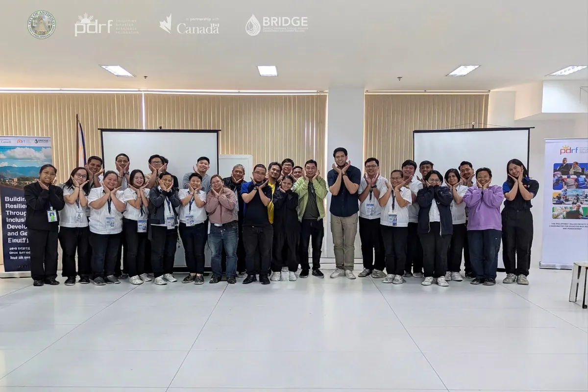
PDRF, through the BRIDGE Project and in partnership with the National Mapping and Resource Information Authority, trained 23 Antipolo City Government staff and enabled them to earn certification in Advanced Geographic Information System.
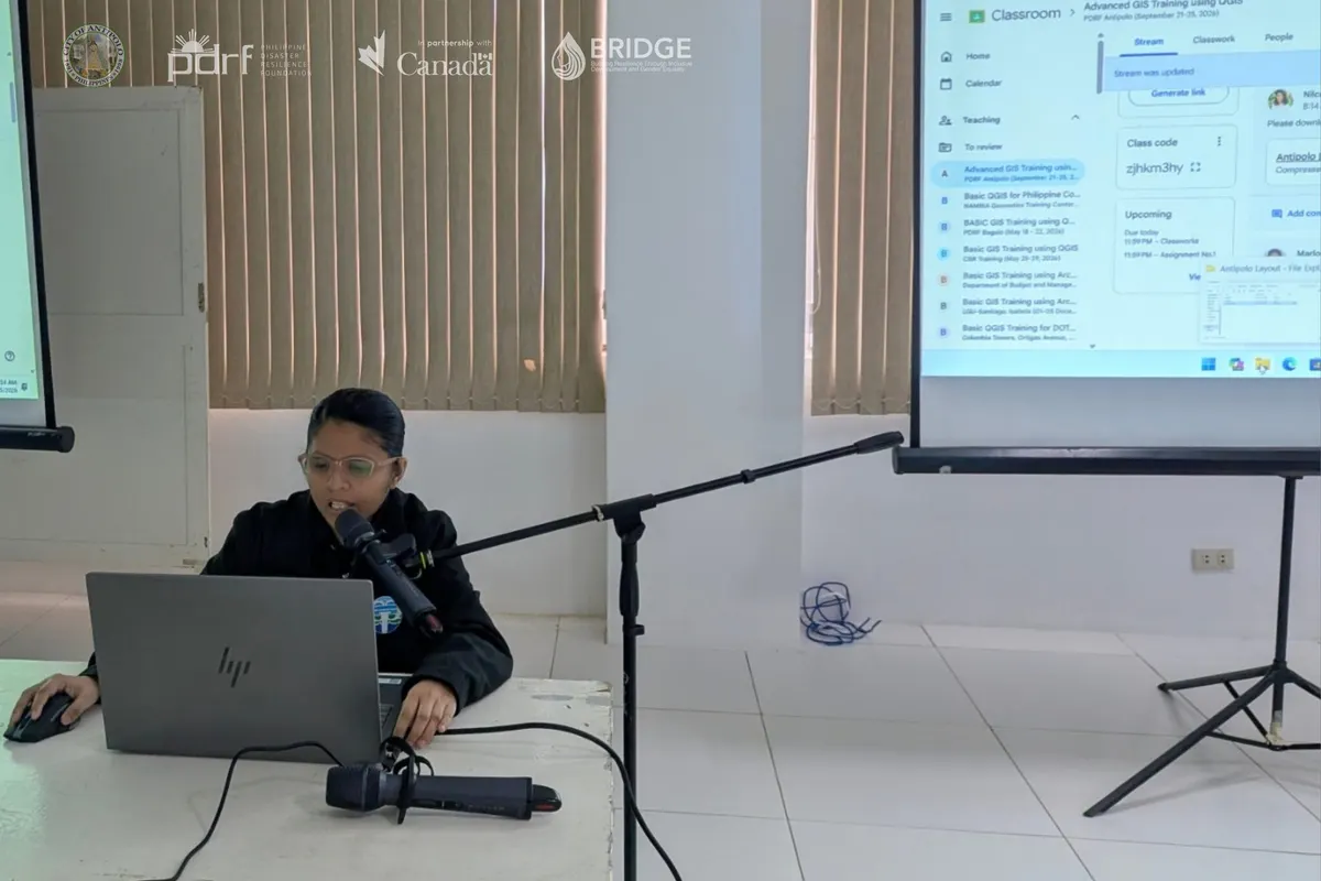
Building on the city’s Basic GIS training, the advanced course reinforced spatial and mapping principles and tested how participants could apply them in their respective work. The course focused on using GIS to strengthen disaster preparedness, climate resilience, and local development through data-informed planning and implementation.
Participants represented the city offices responsible for disaster risk reduction and management, planning and development, engineering, environment, waste and sanitation, agriculture, building regulation, assessment, veterinary services, and social welfare and development.
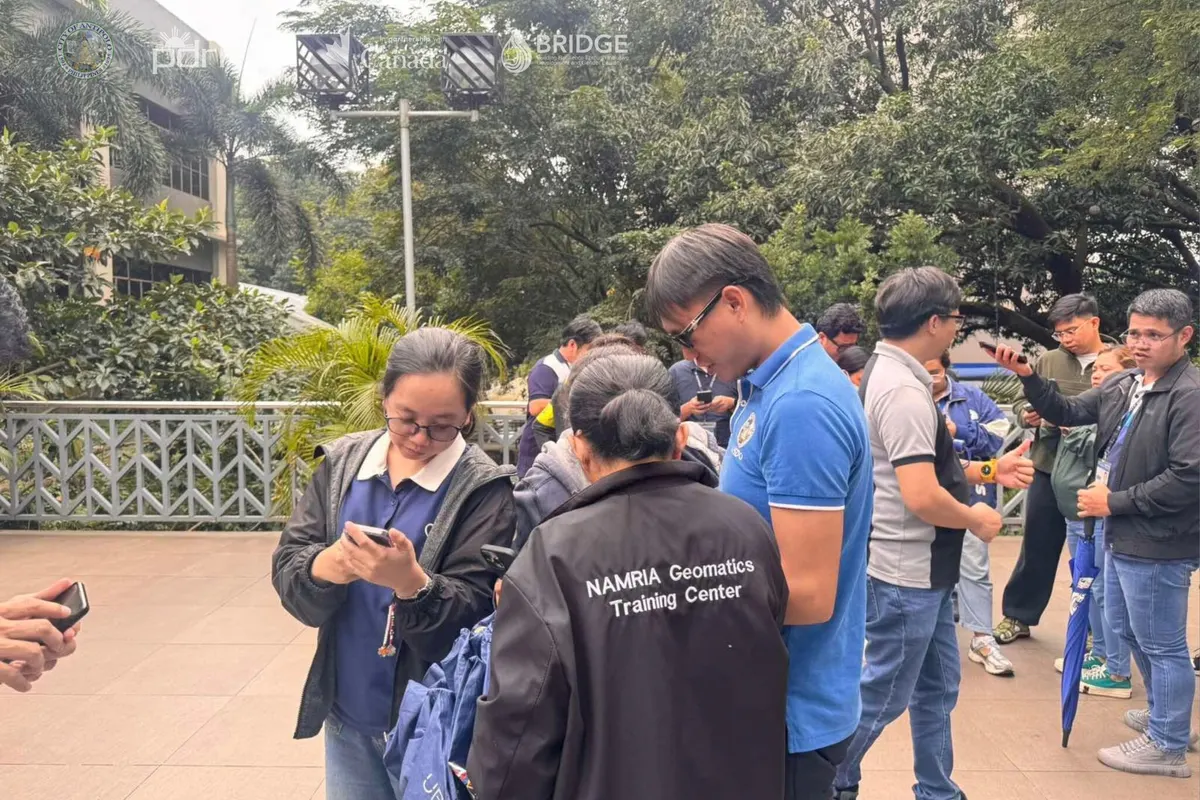
The training gave participants practical tools for field inspections, hazard and flood mapping, and identifying affected communities. It also supports Antipolo City’s goal of building in-house technical capacity so local staff can interpret the city’s data and use it for timely decisions.
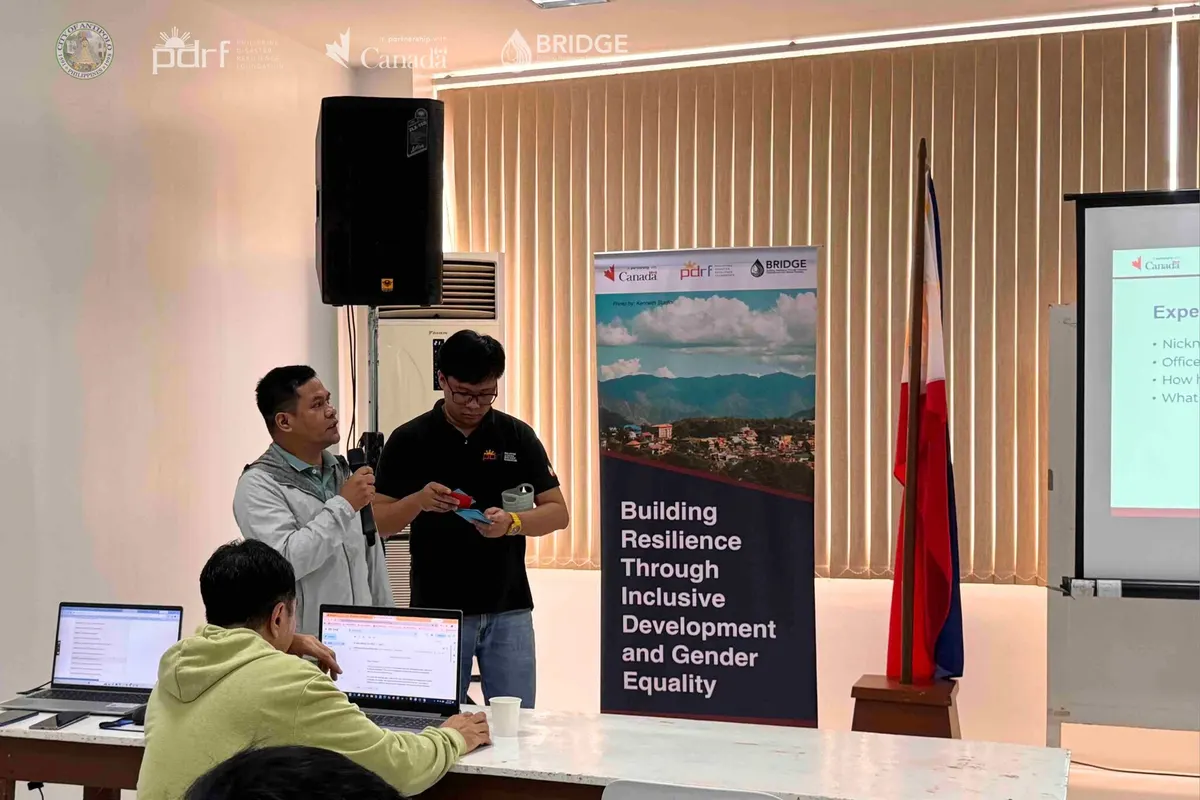
Implemented with support from the Government of Canada through Global Affairs Canada, the course contributes to BRIDGE Outcome 2 by strengthening local institutions’ capacity to develop and implement gender-responsive, climate- and disaster-resilient Integrated Water Resources Management.
###
Back to Outcome 2