PDRF empowers Dumagat-Remontado communities to lead risk and resource mapping in their ancestral domain
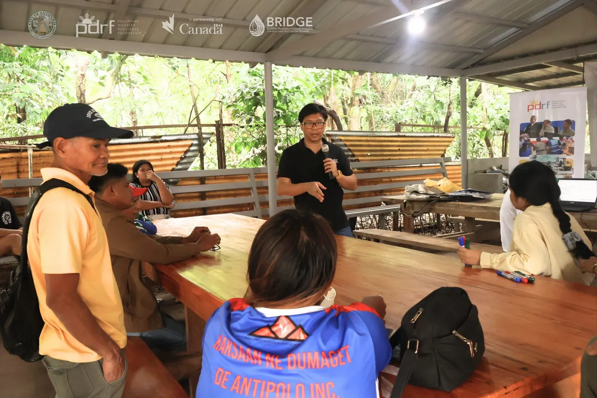
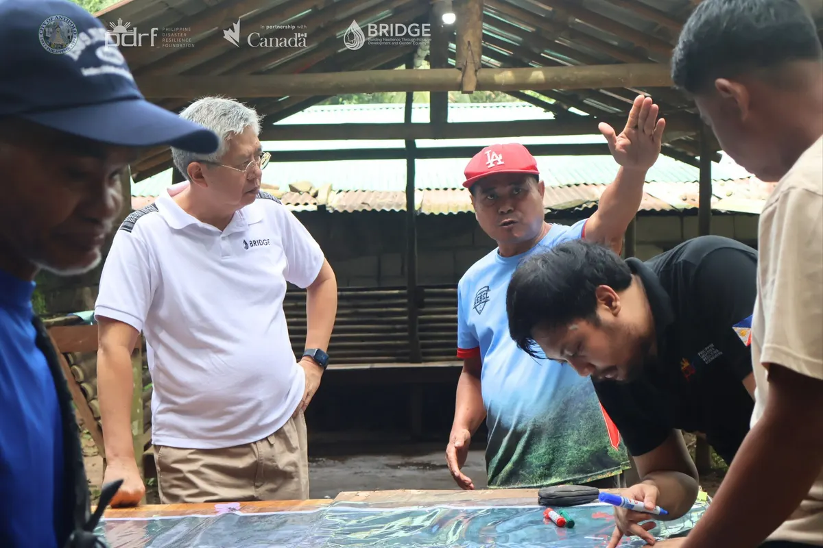
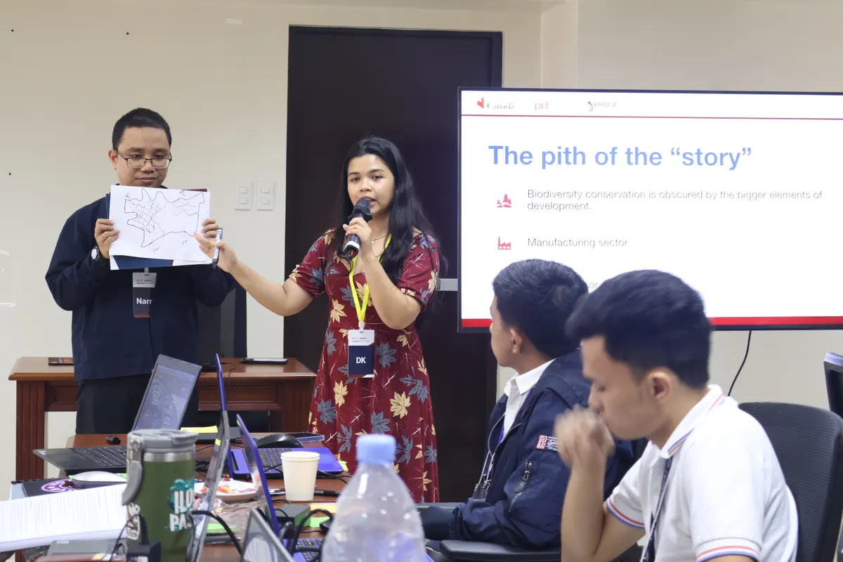
Recognizing the Indigenous knowledge and practices of the Dumagat-Remontado of Antipolo City, PDRF conducted a community-led risks and resources mapping activity through the BRIDGE Project, with support from the Antipolo City Government.
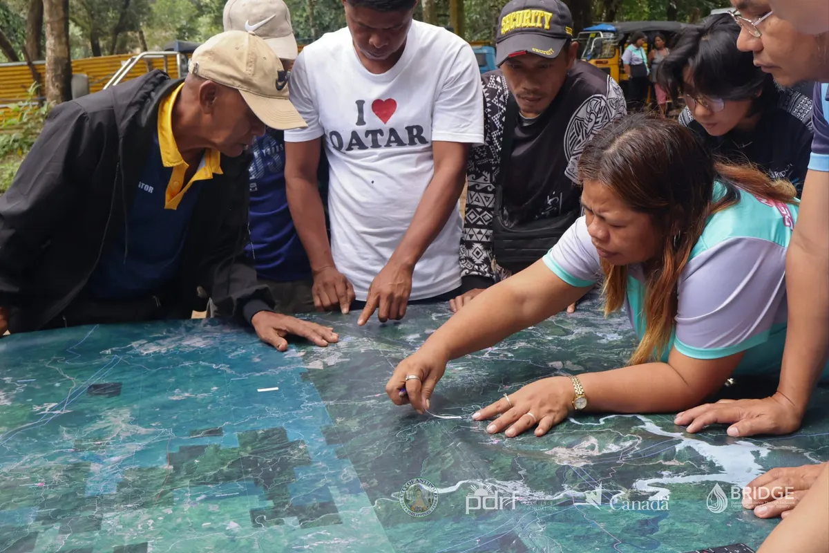
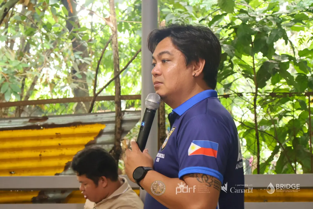
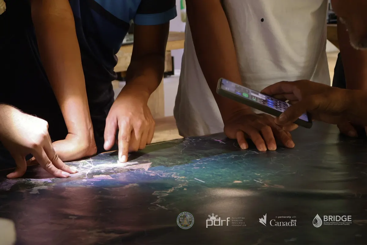
Rapu Modesto Sta. Ana and seven chieftains of Kaksaan Ne Dumaget de Antipolo led discussions during the five-day participatory workshops and field survey held September 14–18, 2026. Participants mapped household settlements, critical facilities, lifelines, livelihoods, and water sources across nine communities in their ancestral domain.
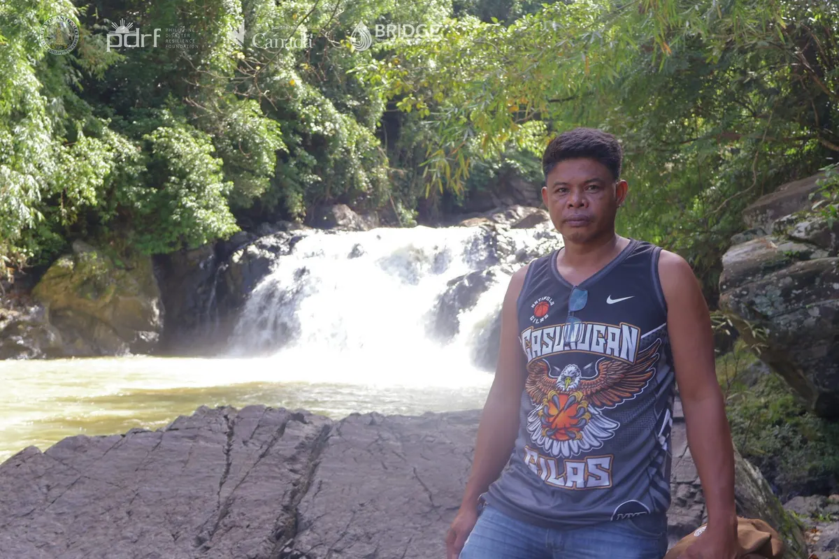
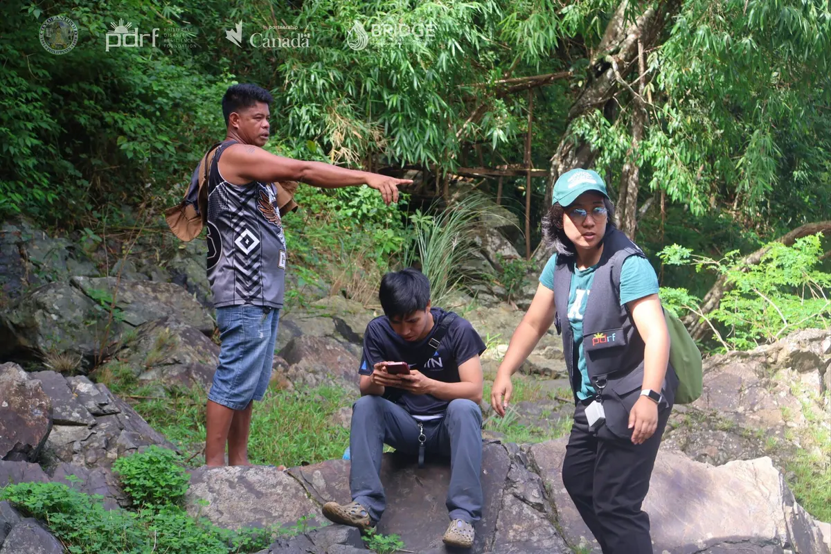
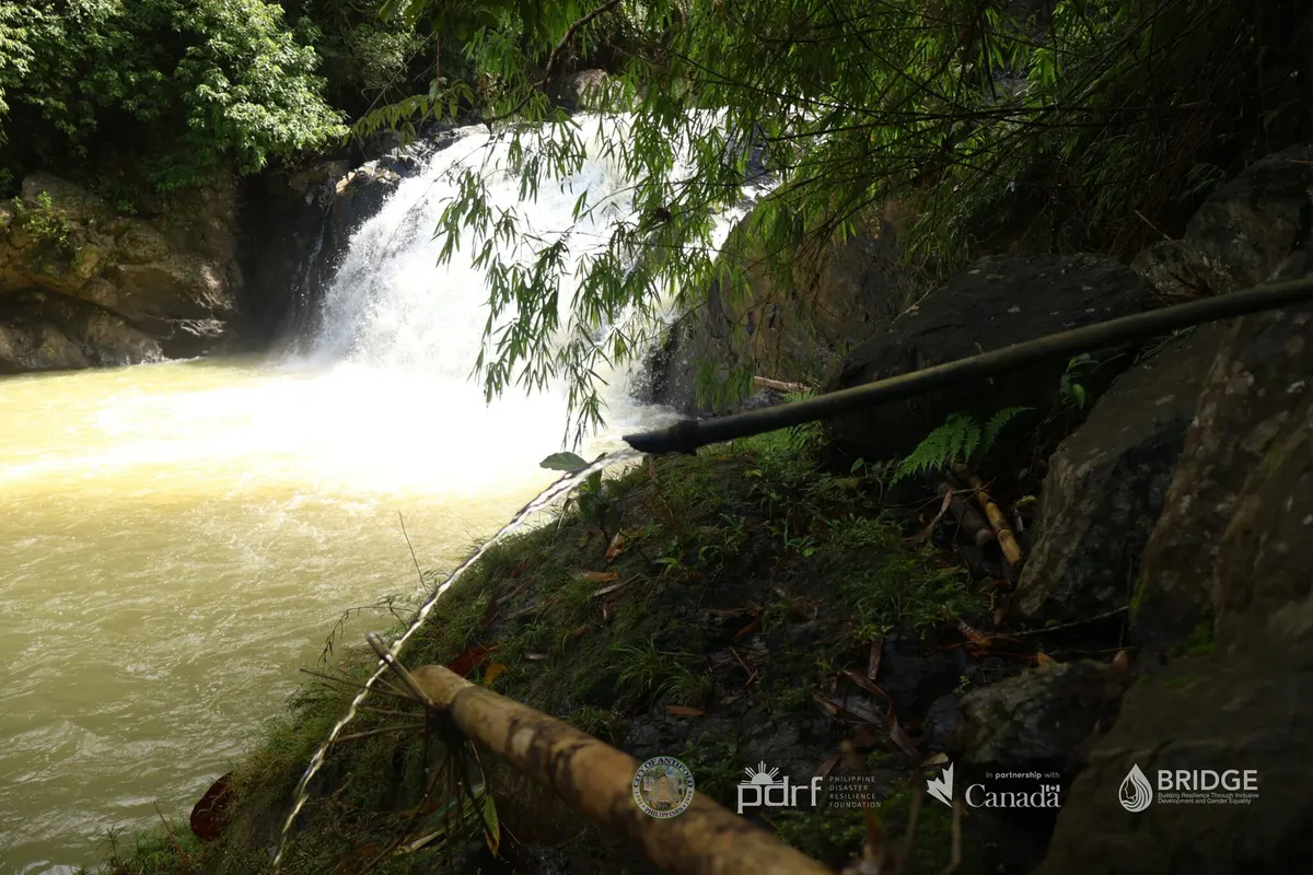
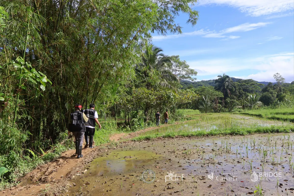
During the final two days, the chieftains and elders guided the BRIDGE Project team and representatives of the Protected Area Management Office as they surveyed, geotagged, and validated the mapped risks and resources. The fieldwork also covered locations in Barangays San Jose and Calawis with potential for community-managed ecotourism.
The resulting data and community insights will inform the Dumagat-Remontado’s Ancestral Domain Sustainable Development and Protection Plan, which guides the management, development, and protection of their ancestral land and natural resources.
The activity advances BRIDGE Outcome 1 by putting Indigenous knowledge and leadership at the center of gender-responsive, climate- and disaster-resilient Integrated Water Resources Management.
###
Back to Outcome 1