PDRF, NAMRIA pilot Basic GIS Training with Baguio LGU
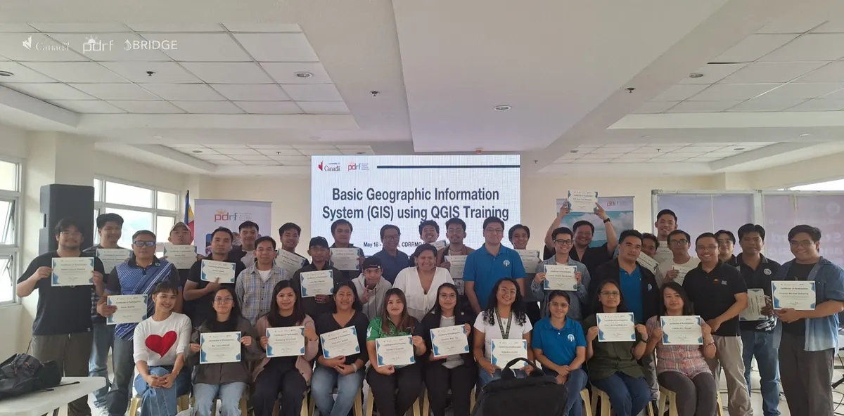
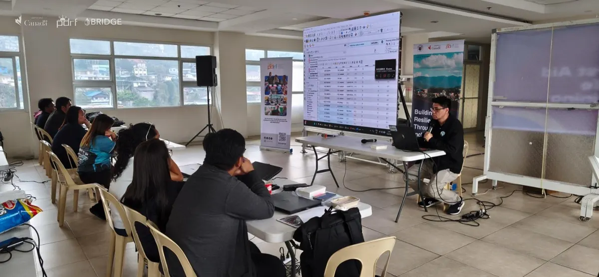
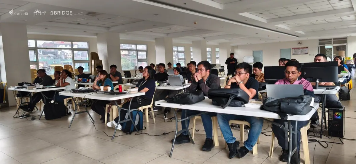
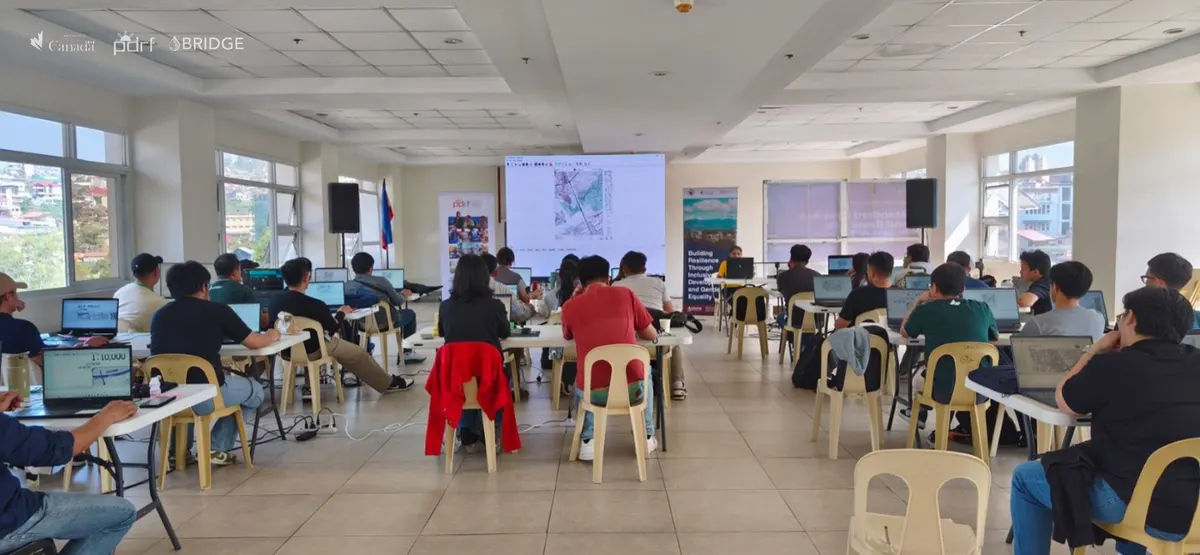
The Philippine Disaster Resilience Foundation, through its Building Resilience through Inclusive Development and Gender Equality (BRIDGE) Project and in partnership with the National Mapping and Resource Information Authority (NAMRIA), conducted the pilot training on Basic Geographic Information System (GIS) for the local government of Baguio City on May 18-22, 2026.
A total of 28 personnel from various City Offices completed the five-day training course and are now equipped with the technical knowledge and skills to create and analyse maps and other spatial data, strengthening the science-based and data-driven planning and decision-making capacity of the City. This course is one of the activities under the BRIDGE Project to improve policies and implementation of gender-responsive, climate and disaster-resilient Integrated Water Resources Management (IWRM) of local institutions.
Funded by Global Affairs Canada, BRIDGE is a four-year project implemented by PDRF to improve the climate and disaster resilience of water-stressed communities in the cities of Antipolo and Baguio.
###
Read the original article on pdrf.org
Back to Outcome 2