Skip to content
BRIDGE — Building Resilience Through Inclusive Development and Gender Equality
Toggle navigationMenu

Outcome 2:

Improved policies and implementation of gender-responsive, climate and disaster resilient IWRM by local institutions of Antipolo and Baguio.

BRIDGE Project, NAMRIA train Baguio LGUs on Advanced Geographic Information System
July 24, 2026

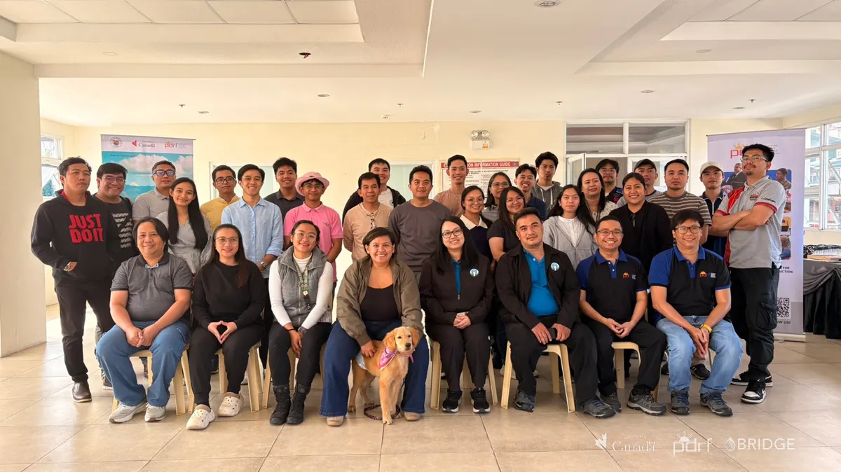
Participants and facilitators at the Advanced GIS training for Baguio City local government personnel.
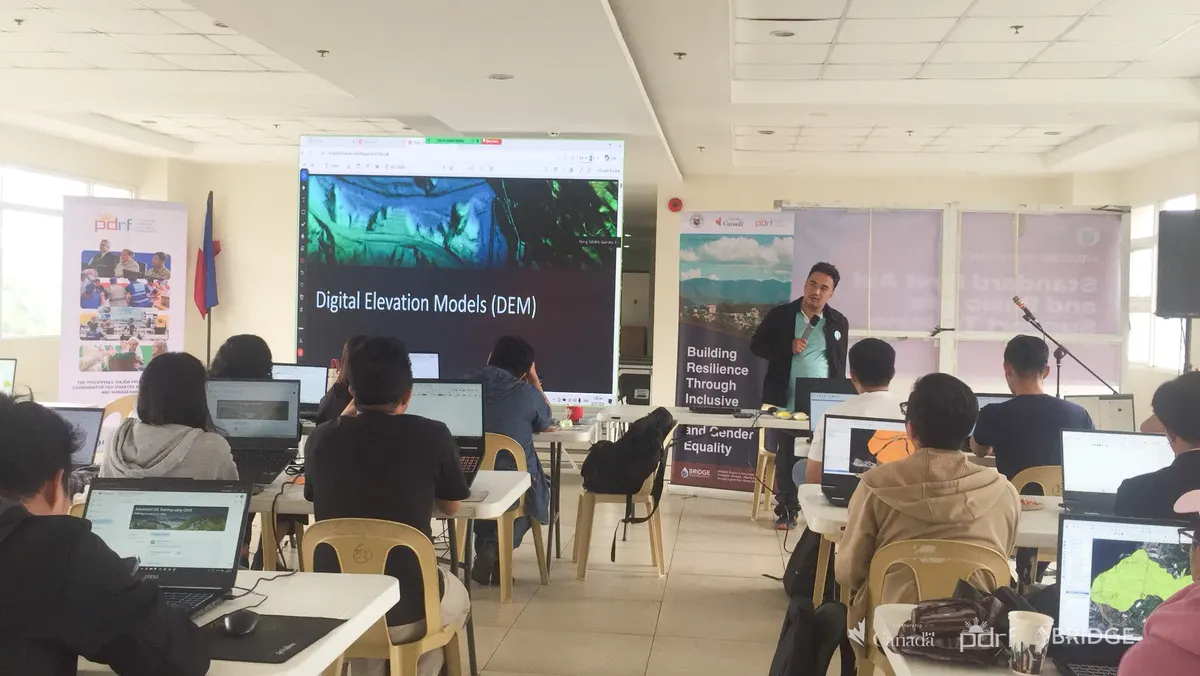
A facilitator demonstrates a digital elevation model during the Advanced GIS training.
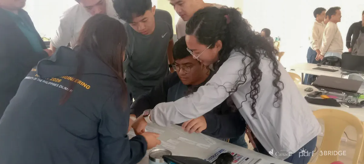
Participants collaborate around a large printed map during a GIS exercise.
Participants work together on a mapping exercise.
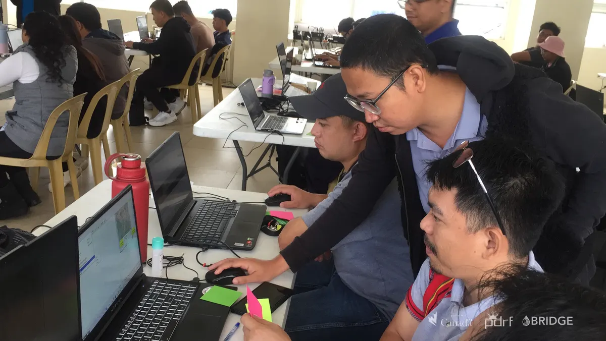
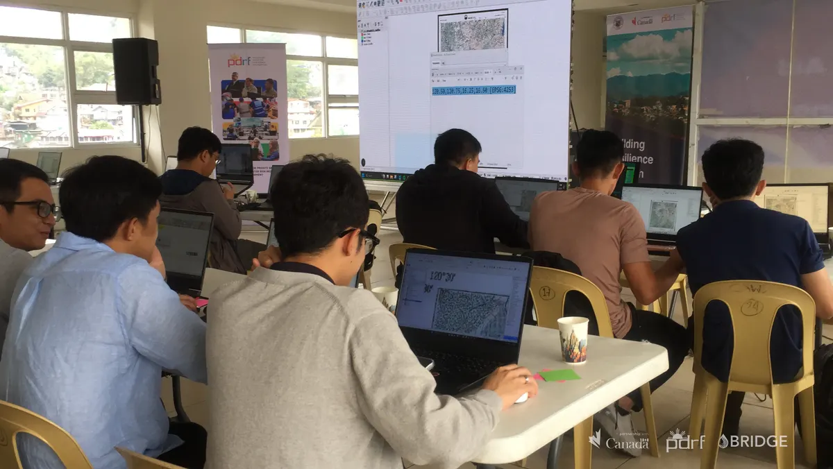
Participants analyze geospatial data on laptops.
Baguio City personnel attend an Advanced GIS classroom session.

PDRF, in partnership with the National Mapping and Resource Information Authority (NAMRIA), trained select members of the Baguio City government on Advanced Geographic Information System (GIS).
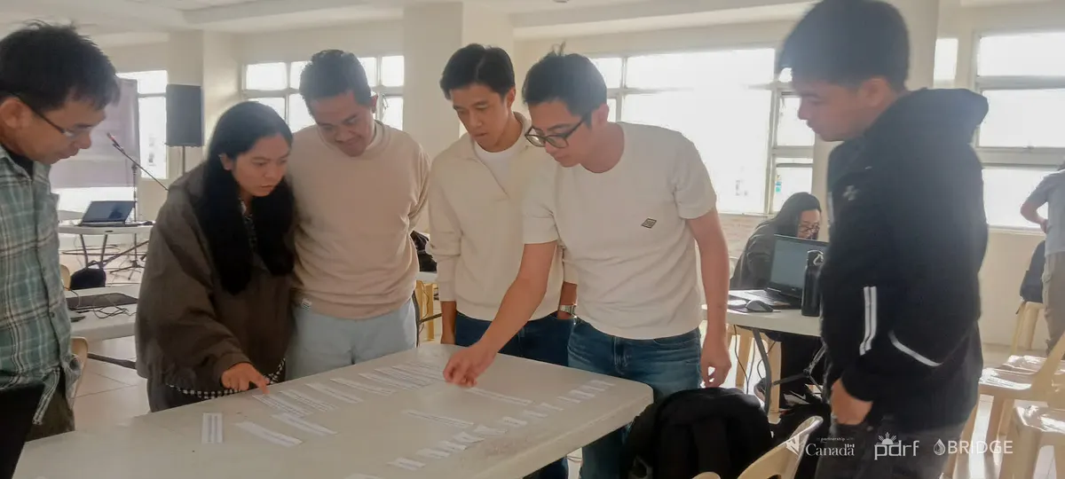
The activity strengthened participants' ability to work with geospatial data, digital elevation models, and collaborative mapping exercises that can support risk-informed planning, water-resource management, and climate resilience.

###

Back to Outcome 2